
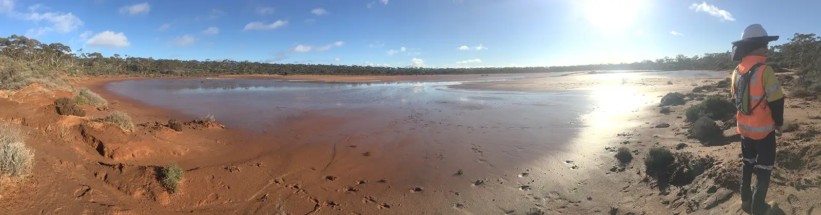
Environmental monitoring
Environmental monitoring provides environmental scientists with a high level of understanding of in-situ soil properties and variation in soil conditions, which could indicate contamination issues within their project site.
Fill variation can be mapped effectively and quickly using various geophysical technologies. Fill typically consists of uncontrolled fill-materials with a differing moisture content and also differing stiffness properties to the host geological material. These electrical contrasts can be resolved laterally and with depth using combinations of geophysical techniques. Common methods used to achieve these objectives are Ground Penetrating Radar (GPR), Electromagnetics and Electrical Resistivity Imaging (ERI). The stiffness contrasts can also be resolved laterally and with depth using geophysical techniques such as Multichannel Analysis of Surface Waves (MASW).
Ground Penetrating Radar (GPR)– Fill material generally comprises of a different source material to the surrounding host geology and local ground conditions. The fill zone tends to contain a higher moisture content, making this (in general) a more electrically conductive zone than the surrounding host geological matieral. These fill regions can effectively be imaged using GPR. The boundary between the fill and natural ground often provides a strong dielectric contrast that can be interpreted using GPR. This makes it possible to map the depth and extent of fill zone. GPR is generally fast to deploy for investigations with shallow depth requirements (depth <10 m).
Electromagnetics (EM) methods target large contrasts in subsurface electrical conductivity associated with uncontrolled fill. The bulk fill region tends to act as a more porous material containing a high moisture content, making this (in general) a more electrically conductive zone in comparison to the surrounding host geological material. This technique is generally used to map the extent of the fill laterally. EM is a very effective geophysical tool for this application by mapping the bulk electrical conductivity changes using Frequency-Domain EM, or lateral and depth changes in electrical conductivity profile using Time-Domain EM. Both FDEM and TDEM are generally fast to deploy for investigations with shallow depth requirements (depth <25 m).
Electrical Methods also targets conductivity variations throughout the uncontrolled-fill region. The fill region will generally appear as a more conductive zone in comparison to the generally more resistive host geological material. Electrical Resistivity Imaging (ERI) is a preferred methodology for showing the depth to base of fill presenting the lateral electrical variation along the profile. With a series of parallel or orthogonal ERI profiles it is possible to interpret the volume of the fill-region, and regions of likely higher moisture content within the fill-material.
Uncontrolled fill material generally varies in stiffness more in comparison to the surrounding host geological material. Seismic methods such as Multichannel Analysis of Surface Waves (MASW) can assist with quantifying bulk variation in modelled shear-wave velocity (Vs) response across the fill profile.
Tailings Storage Facilities (TSF) embankment integrity assessments and TSF seepage/groundwater contamination assessments are two areas of Life of Mine (LoM) monitoring and maintenance, where geophysics can be an effective tool to map zones of higher electrical conductivity generally associated with increased embankment moisture content and external TSF seepage contamination. Increased moisture content within a TSF embankment may indicate regions requiring closer structural monitoring or rehabilitation. TSF contaminants that may seep into external subsurface soils or groundwater systems, can alter the electrical conductivity properties of the ground. Geophysical methods such as Electromagnetics (EM) and Electrical Resistivity Imaging (ERI) are preferred techniques utilised for these types of environmental applications.
Electromagnetics (EM) methods, in particular Frequency-Domain EM (FDEM), are quick and effective at monitoring contamination plumes or regions of tailings seepage. Depending on depth from surface, extent of the contamination and type of contaminant being mapped, a grid of parallel FDEM profiles can laterally constrain electrically high conductive zones often associated with contamination plumes. Through repeat surveys over calendar time it is possible to observe and monitor the extension, contraction or migration of plume/seepage zones. For investigations requiring a depth-constraint, as well as lateral constraints, Time-Domain EM (TDEM) is a useful geophysical tool to apply to such assessment. TDEM data requires inversion, so timeframe for data processing can be vary depending on size of dataset.
Electrical Methods also targets regions of conductivity variation associated with contamination plumes or tailings seepage, also highlighting locations of potential groundwater preferential pathways. ERI is a preferred methodology for showing the depth extent of a contamination plume/tailings seepage region along a profile line. By arranging ERI cross-sectional profiles in a parallel orientation, it is possible to periodically map over calendar-time any observable migration of contamination zones between profile lines. It is also possible to monitor any changes in dip/strike direction of the migrating contamination.
Electromagnetics (EM) methods are excellent pre-screening tools for locating buried electrical services and steel pipes. Buried metal objects will generally have a large electrical contrast in comparison to the host geological material. EM methods can map the lateral extent of the buried object across the site, and the depth to the object can often be determined using the complimentary GPR technique.
The Potential Field magnetics method target metallic or ferrous objects sometimes found in areas of uncontrolled fill. It can detect magnetic objects such as drums or tanks that may otherwise be too deep for GPR or EM methods to detect. EM methods may not necessarily pick up highly magnetic objects, so the Magnetics technique acts as a great pre-screening and complementary tool to EM methods; especially if the investigation site is known to contain possible buried magnetic objects. Depths to interpreted magnetic anomalies can often be determined using the GPR technique if within range of GPR measurement depth.
Ground Penetrating Radar (GPR) is a quick and effective technique for interpreting the depth to buried objects such as underground services, underground storage tanks (UST) and other large buried man-made objects. Generally, the targets chosen for further investigation with GPR are often located prior using EM and Magnetic methods. These objects often have a large electrical contrast in comparison to the host material, which provide good targets to produce a strong GPR reflection.
Find the right solution for your next geoscience project
Talk to our experienced consultants about your project requirements. We help you discover the right approach for understanding subsurface conditions.